A Tualatin Valley bicycle tour including Roy, quilt blocks, nuts, grass, data, berries, and a cemetery.

Headed north out of Hillsboro on Glencoe Road and the first stop was the Coussens barn for a stretch and gander.
I’d seen this barn decor on a previous lap and learned it is part of the Tualatin Valley Quilt Barn Trail.
Travel Oregon has a Video.
They’re called quilt blocks. Spotted three more before the end of the loop.
Westside Quilter’s Guild map: The Quilt Barn Trail of Oregon’s Washington County
Glencoe Road.
45.56267912769301, -123.00148121724139
Take the lane.
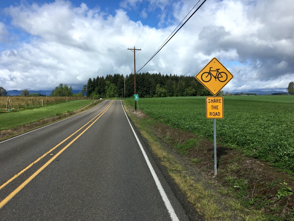
Quiet rural two lane. Low traffic. No shoulder to speak of, packed gravel occasionally.
Wren Road.
45.562512558297826, -123.00923192337619

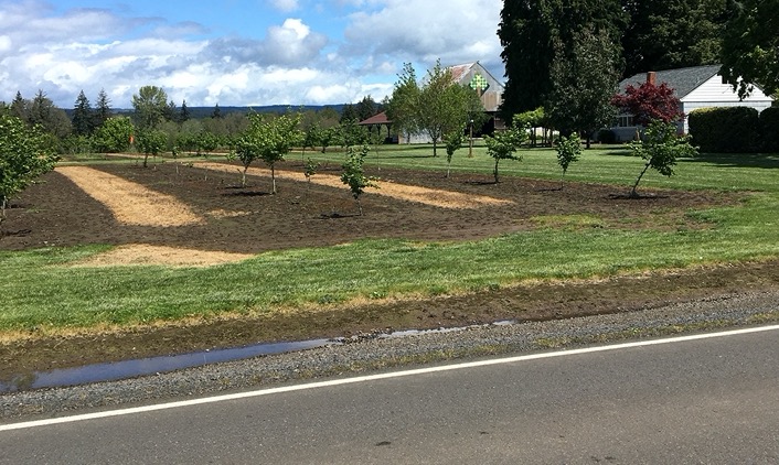
U-Pick Blueberries.
Wren Road.


Road to Ruin is a half mile further on.
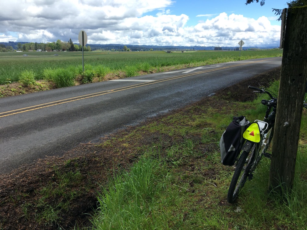
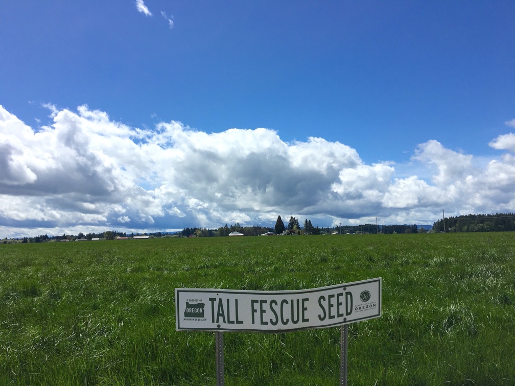
NW Cornelius Schefflin Road. Busier and faster than Wren Road but with a good sized shoulder.
45.56509857255572, -123.05225540615638

Looked like a good place for a camp-out or a rave, maybe a fyre festival. Or how about a Burning Something? Whatever happens should include plenty of taco trucks.
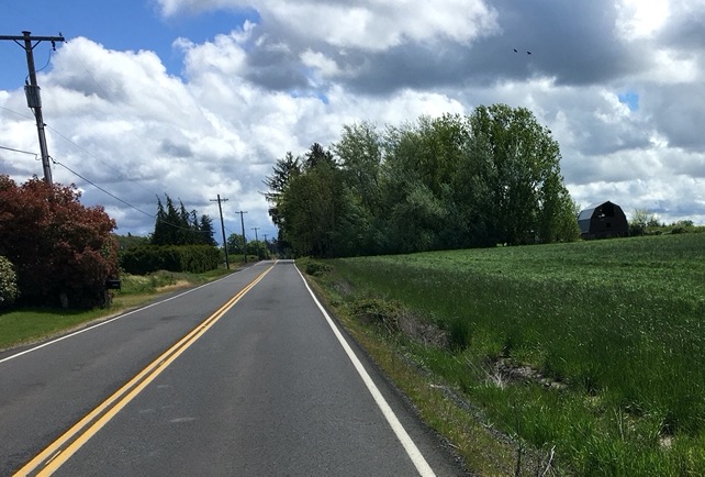
Roy Road. Quieter than Wren Road. Very low traffic. Good to very good surface.
45.57524026190394, -123.05786428290953

Put the
squeeze
on a cow
Eat
dairy
products
“
Roy Road.

Roy has a handful of housing and a catholic monopoly.
I continued east along NW Harrington Road sins intact smelling the roses when necessary.
45.59530030953294, -123.0799819355438

Made it through Roy unconverted. Blueberries. Harrington Road.

No big sign or announcement, if you blinked you missed it. But on a bike you find stuff like the Historic Harrison Cemetery.
Most of the original markers had toppled, the pieces placed on the ground next to the former bases. Others had been I assumed lost to time and replaced with aluminum plaques. Many of the inhabitants were young, children, 20’s, but there were a few older people as well, 70’s. Two were “lost in a flood 8 DEC 1857”.
Oregon State Parks Historic Cemeteries Program
NW Dersham Road.
45.602324102357564, -123.04031438297123


Adjacent to the cemetery. No action today.
Rode over for a closer look and there was this guy in a late model SUV with the windows all rolled up and I could very clearly hear Nick Cave and the Bad Seeds belting it out so I just turned around and left him to it.
45.60348862639077, -123.04252602789195
Hillsboro.
NE Starr Boulevard.
45.55916955175943, -122.93637810267816